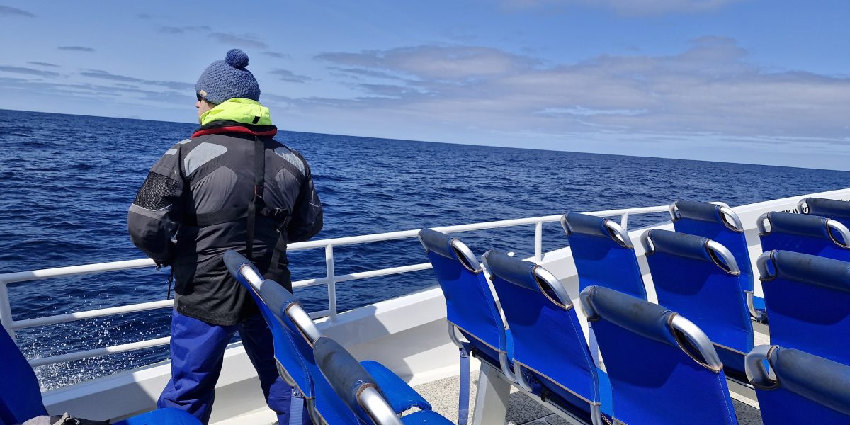
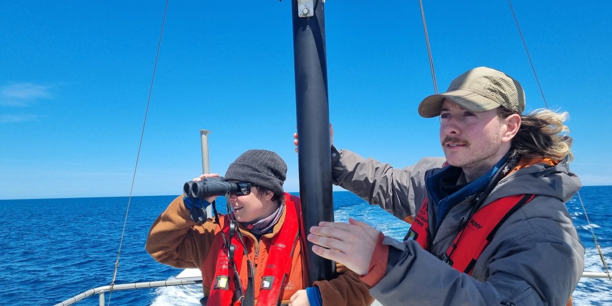
On demand webinar: Understanding marine mammal survey data for project approvals
Explore how high‑quality marine mammal survey data underpins robust Environmental Impact Assessments (EIAs) and supports successful project approvals.

Remote Sensing is a tried-and-tested part of the APEM arsenal, but this is the first time this specific approach and methodology have been used to map the scale, location and extent of invasive plant species, enabling the council to allocate time, budget and resources for control and treatment measures, protecting biodiversity and avoiding financial penalties.
Due to the scale, land type and infrastructure to be mapped, Remote Sensing was the most appropriate surveying method. The total area was an estimated 400km2 with land types and infrastructure including roadways, motorways, waterways and railway lines that would be difficult or dangerous to access on foot.
Further informed by the results of the mapping and the prioritisation matrix, Bridgend County Borough Council are now able to target Invasive non-native plants at highest risk of spread from council land.

Himalayan balsam
Bridgend Council’s proactive approach to INNS mapping on its land holdings will help biodiversity and protect habitats, as well as helping the council avoid financial penalties under the Wildlife and Countryside Act 1981 (WCA) and potentially mitigate and protect against future civil claims. With accurate baseline data and mapping, the Council can target resources to hotspots of concern.
This approach can be used for catchment mapping and Biodiversity Net Gain for water companies, to provide baseline data for areas where there is little or none available.
You can read more about the project here, or speak to Darroch Baker, Managing Director for Freshwater & Terrestrial about ways we use remote sensing to bring nature-positive solutions to our clients.
Get hand-picked content from our subject matter specialists. Sign up to receive relevant updates, resources, and ideas that help you and your organisation.
We're here to help. Whether you're looking for tailored insights, support with a project, or just want to explore how we can work together, contact our team today.
Explore how high‑quality marine mammal survey data underpins robust Environmental Impact Assessments (EIAs) and supports successful project approvals.
APEM Group is proud to showcase our partnership with GHD on JERA Nex bp’s proposed Blue Mackerel Offshore Wind Project, a...
Opens new access routes in valuable US environmental services market Establishes US based hub to support further global expansion Brings...